Lord Selkirk Route (51 KM)
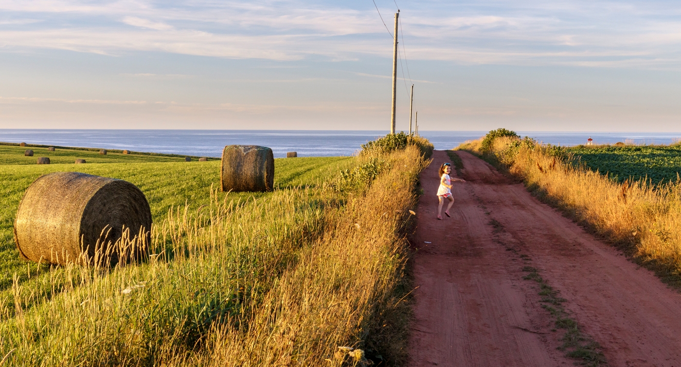
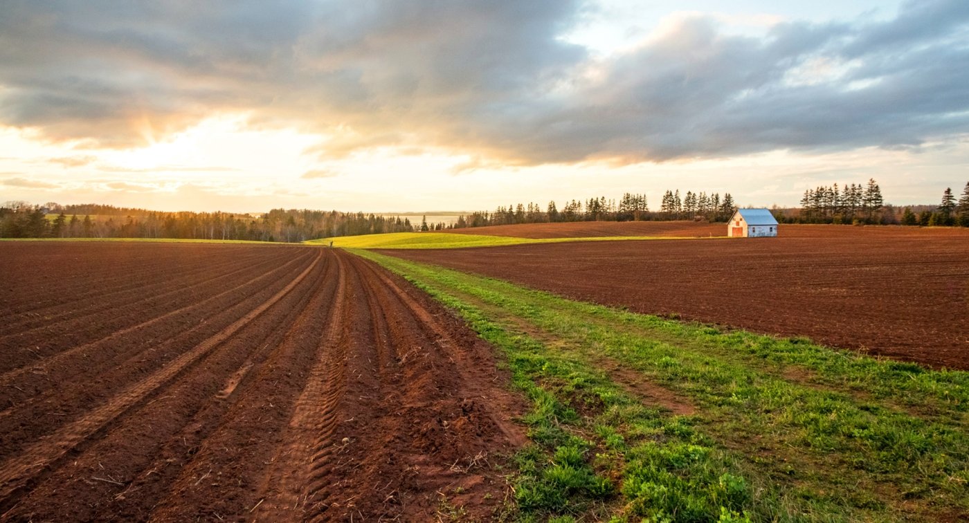
These two loops meander along country roads in Southern Kings County, past farms and lighthouses. You can stop at a woollen mill, a crafts gallery, or a waterfront restaurant. These loops include some of the Island’s most challenging hills. At just over 82km total, an experienced cyclist could cover both loops in a single day.
View Lord Selkirk Loop in MapMyRun.com or Google Maps
Lord Selkirk Campground Route Directions (Loop 1 - 51 KM)
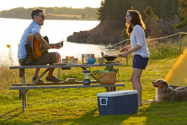
This loop ride starts at the entrance to Lord Selkirk Campground on Route 1, just east of Eldon.
0.0 Turn left as you leave the park, onto Route 1 West toward Charlottetown.
1.5 Turn right onto Garfield Road, Route 207, following the sign to Garfield. On the left at this turn is Cooper's Store, with gas and groceries.
3.0 Continue straight on Route 207 toward Garfield; Route 206 goes left to Iona. An enjoyable downhill begins in a couple of hundred metres, followed by a short, steep climb.
3.6 Bear left at a fork, staying on Route 207. This turn comes as you are conquering another steep hill that happily lasts only 100 metres. (Route 208 goes right to Roseberry.) At the top of the hill on the left is St. John's Presbyterian Church. There will continue to be occasional hills along Route 207, a few of which are moderately difficult, but the road rolls past farms with fields of potatoes, hay and grain, and through spruce woods. At kilometre 8.3, at the top of a hill on the left, is the entrance to the Broken Rock Fossil Shop at Belfast Mini Mills Ltd.
Optional Shortcut - At kilometre 9.1 note a Scenic Heritage Road on the right off Route 207, shortly past the bottom of a hill. By turning right on this unpaved Heritage Road, you shorten the ride by three kilometres. It is wooded and shady, more downhill than up. If you take the Heritage Road, you will come to a T intersection with Route 1 in four kilometres. Turn right. You will be at kilometre 16.2 of the regular route. If you stay on Route 207, continue straight, passing Route 204 on the left at kilometre 9.5, and watch for the next turn:
11.5 Turn right on Camp Road, which is Route 261. Camp Road passes first through mixed woods, but in less than two kilometres, there are clearings with homes, and then farms.
14.5 Turn right at a T onto Route 1 West. There is more traffic on Route 1 than elsewhere on this loop, but cycling is safe because of the paved shoulders.
16.2 Continue straight, passing a Heritage Road on the right. This is the optional shortcut mentioned above.
18.6 Pass Roseberry Road, Route 208, on the right.
22.0 Pinette Community Park is on the left, there is a beach here.
23.7 Turn left on Glashvin Rd. following the sign to Mt. Buchanan. The turn comes just after a Royal Canadian Legion Post on the left. About 300 meters along Glashvin Road, there is a perennial garden on the left. Views along the road are lovely, with fields rolling down to the Pinette River.
25.4 Turn right, following the paved road. You are on MacAulay's Wharf Road.
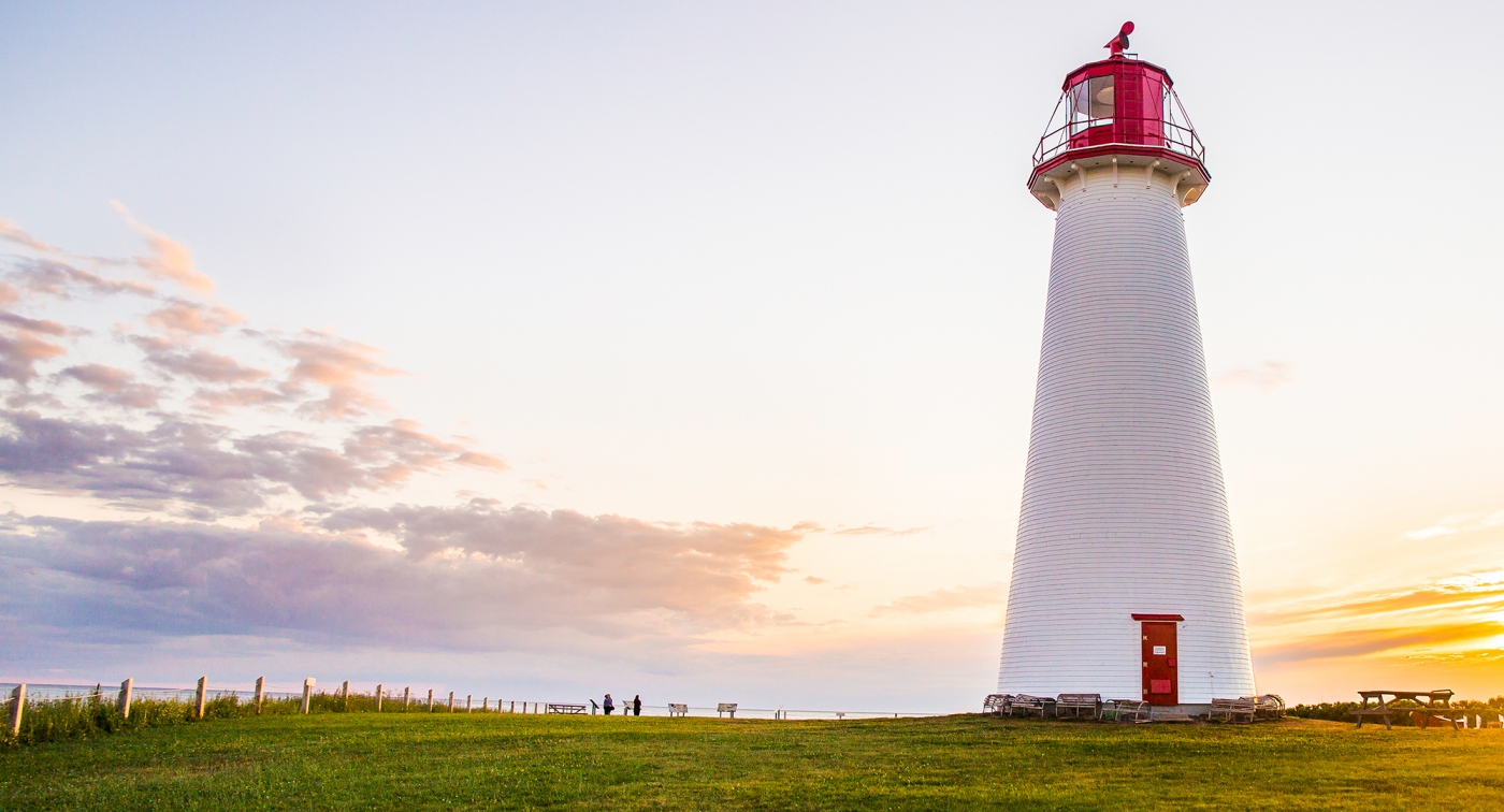
27.2 Turn left at a stop sign and T intersection onto Point Prim Road. The road to Point Prim is lovely and at the end there is the Point Prim lighthouse which was built in 1846 and is PEI's oldest lighthouse. It is an easy, out-and-back ride to the point, nine kilometres each way. Also, Point Prim Chowder House is open in the summer and early fall.
35.1 The road turns to dirt.
36.1 Backtrack after visiting the lighthouse.
45.1 Pass MacAulay's Wharf Road on the right, on which you rode earlier.
46.8 Turn left at a T intersection onto Route 1, following a sign to Charlottetown; this is the end of the Point Prim Road.
50.5 End of the first loop. Lord Selkirk Campground is on the left.
Lord Selkirk Campground Route (Loop 2 - 32KM)
This loop ride also starts at Lord Selkirk Campground.
View Lord Selkirk Loop 2 in MapMyRun.com or Google Maps
